
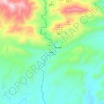
Gafares topographic map
Interactive map
Click on the map to display elevation.
About this map
Name: Gafares topographic map, elevation, terrain.
Location: Gafares, Sorbas, Alméria, Andalousie, Espagne (37.00301 -2.01107 37.04301 -1.97107)
Average elevation: 279 m
Minimum elevation: 118 m
Maximum elevation: 598 m