
Kollm topographic map
Interactive map
Click on the map to display elevation.
About this map
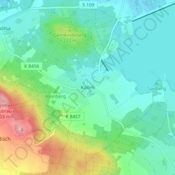
Name: Kollm topographic map, elevation, terrain.
Location: Kollm, Diehsa, Görlitz, Sachsen, Deutschland (51.24659 14.70862 51.28659 14.74862)
Average elevation: 189 m
Minimum elevation: 151 m
Maximum elevation: 295 m