
Bouysset topographic map
Interactive map
Click on the map to display elevation.
About this map
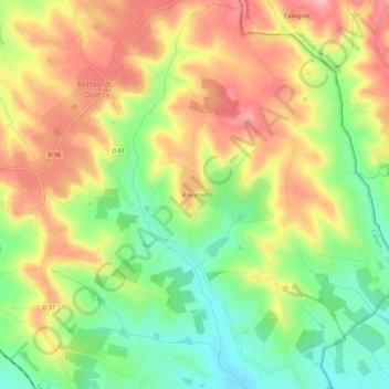
Name: Bouysset topographic map, elevation, terrain.
Location: Bouysset, Cahors, Lot, Occitania, Metropolitan France, France (44.23783 1.53663 44.27783 1.57663)
Average elevation: 229 m
Minimum elevation: 158 m
Maximum elevation: 301 m