
Ile Cook topographic map
Interactive map
Click on the map to display elevation.
About this map
Name: Ile Cook topographic map, elevation, terrain.
Average elevation: 312 m
Minimum elevation: 274 m
Maximum elevation: 429 m
Other topographic maps
Click on a map to view its topography, its elevation and its terrain.
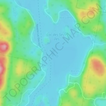
Lac des Seize Îles
Canada > Québec > Lac-des-Seize-Iles
Lac des Seize Îles, Lac-des-Seize-Iles, Les Pays-d'en-Haut, Laurentides, Québec, Canada
Average elevation: 333 m