
Barangay 186 topographic map
Interactive map
Click on the map to display elevation.
About this map
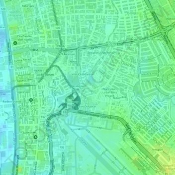
Name: Barangay 186 topographic map, elevation, terrain.
Average elevation: 8 m
Minimum elevation: -1 m
Maximum elevation: 18 m
Other topographic maps
Click on a map to view its topography, its elevation and its terrain.
SM Mall of Asia Complex
SM Mall of Asia Complex, Barangay 76, Zone 10, District 1, Pasay, Southern Manila District, Metro Manila, Philippines
Average elevation: 3 m
Barangay 42
Barangay 42, District 2, Pasay, Southern Manila District, Metro Manila, Philippines
Average elevation: 8 m
Barangay 185
Barangay 185, Zone 19, District 2, Pasay, Fourth District, Metro Manila, Philippines
Average elevation: 10 m
Barangay 16
Barangay 16, Zone 1, Pasay, NCR, Fourth District, Metro Manila, Philippines
Average elevation: 7 m
Barangay 75
Barangay 75, Zone 10, Pasay, 1st District, Pasay, Metro Manila, 1300, Philippines
Average elevation: 7 m