
Kalangala topographic map
Interactive map
Click on the map to display elevation.
About this map
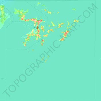
Name: Kalangala topographic map, elevation, terrain.
Location: Kalangala, Central Region, Uganda (-1.00000 31.99917 -0.14907 32.75255)
Average elevation: 1,136 m
Minimum elevation: 1,128 m
Maximum elevation: 1,276 m
Other topographic maps
Click on a map to view its topography, its elevation and its terrain.