
Groveton topographic map
Interactive map
Click on the map to display elevation.
About this map
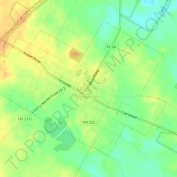
Name: Groveton topographic map, elevation, terrain.
Location: Groveton, Trinity County, Texas, 75845, United States (31.04302 -95.14881 31.06994 -95.10769)
Average elevation: 98 m
Minimum elevation: 81 m
Maximum elevation: 113 m