
Santa Rosa topographic map
Interactive map
Click on the map to display elevation.
About this map
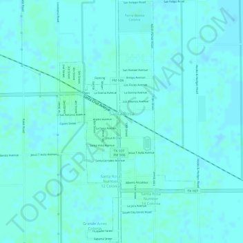
Name: Santa Rosa topographic map, elevation, terrain.
Location: Santa Rosa, Texas, United States (26.24245 -97.83268 26.26923 -97.81590)
Average elevation: 17 m
Minimum elevation: 14 m
Maximum elevation: 19 m