
Круша topographic map
Interactive map
Click on the map to display elevation.
About this map
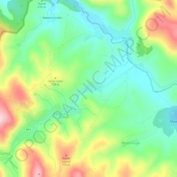
Name: Круша topographic map, elevation, terrain.
Location: Круша, Dragoman, Oblast Sofia, Bulgarien (42.88496 22.77457 42.92496 22.81457)
Average elevation: 640 m
Minimum elevation: 529 m
Maximum elevation: 834 m