
Inongo topographic map
Interactive map
Click on the map to display elevation.
About this map
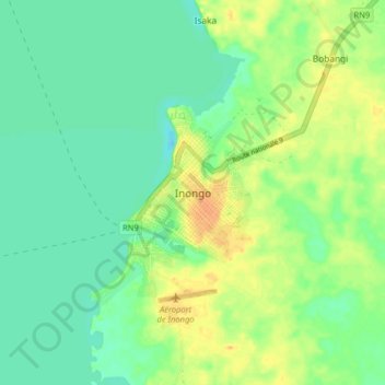
Name: Inongo topographic map, elevation, terrain.
Location: Inongo, Mai-Ndombe, Democratic Republic of the Congo (-1.96534 18.24640 -1.88534 18.32640)
Average elevation: 298 m
Minimum elevation: 285 m
Maximum elevation: 315 m