
Buchholz topographic map
Interactive map
Click on the map to display elevation.
About this map
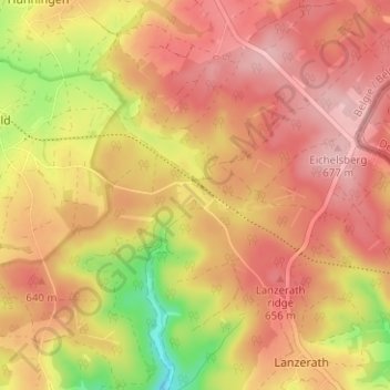
Name: Buchholz topographic map, elevation, terrain.
Location: Buchholz, Büllingen, Verviers, Luik, Wallonië, 4760, België (50.35443 6.29686 50.39443 6.33686)
Average elevation: 621 m
Minimum elevation: 516 m
Maximum elevation: 680 m