
Sungai Brantas topographic map
Interactive map
Click on the map to display elevation.
About this map
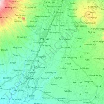
Name: Sungai Brantas topographic map, elevation, terrain.
Location: Sungai Brantas, Wandanpuro, Malang, 65162, Indonesia (-8.17959 112.55799 -7.99439 112.64574)
Average elevation: 425 m
Minimum elevation: 272 m
Maximum elevation: 968 m