
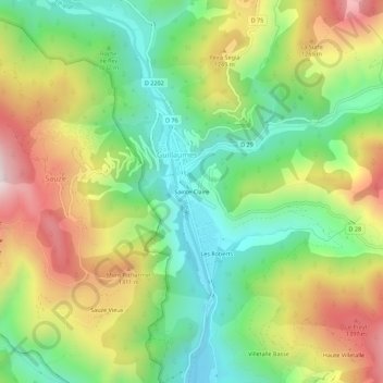
Sainte-Claire topographic map
Interactive map
Click on the map to display elevation.
About this map
Name: Sainte-Claire topographic map, elevation, terrain.
Average elevation: 1,063 m
Minimum elevation: 740 m
Maximum elevation: 1,523 m
Other topographic maps
Click on a map to view its topography, its elevation and its terrain.
Les Roberts
France > Provence-Alpes-Côte d'Azur > Alpes-Maritimes > Guillaumes
Les Roberts, Guillaumes, Nice, Alpes-Maritimes, Provence-Alpes-Côte d'Azur, France métropolitaine, 06470, France
Average elevation: 1,060 m
Lac du Sénateur
France > Provence-Alpes-Côte d'Azur > Alpes-Maritimes > Guillaumes
Lac du Sénateur, Guillaumes, Nice, Alpes-Maritimes, Provence-Alpes-Côte d'Azur, France métropolitaine, 06470, France
Average elevation: 1,596 m