
树苴乡 topographic map
Interactive map
Click on the map to display elevation.
About this map
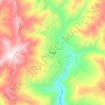
Name: 树苴乡 topographic map, elevation, terrain.
Location: 树苴乡, 楚雄市, 楚雄彝族自治州, 云南省, 中国 (24.95927 100.89448 25.03927 100.97448)
Average elevation: 2,096 m
Minimum elevation: 1,328 m
Maximum elevation: 2,840 m