
Laucala topographic map
Interactive map
Click on the map to display elevation.
About this map
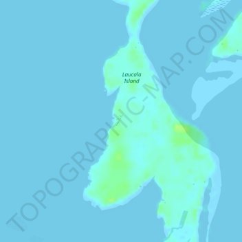
Name: Laucala topographic map, elevation, terrain.
Location: Laucala, Suva, Rewa, Central, Fiji (-18.15675 178.50512 -18.13675 178.52512)
Average elevation: 1 m
Minimum elevation: -2 m
Maximum elevation: 13 m
Other topographic maps
Click on a map to view its topography, its elevation and its terrain.
Laucala Island
Laucala Island, Suva, Rewa, Central, Fiji
Average elevation: 1 m