
Chandra topographic map
Interactive map
Click on the map to display elevation.
About this map
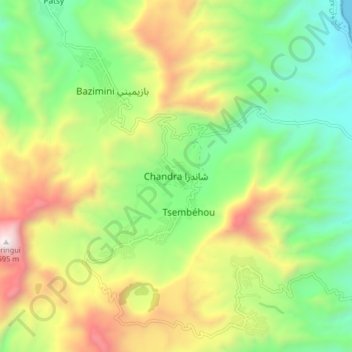
Name: Chandra topographic map, elevation, terrain.
Location: Chandra, Anjouan, Comoros (-12.23987 44.42415 -12.15987 44.50415)
Average elevation: 608 m
Minimum elevation: 0 m
Maximum elevation: 1,570 m