
Faversham Creek topographic map
Interactive map
Click on the map to display elevation.
About this map
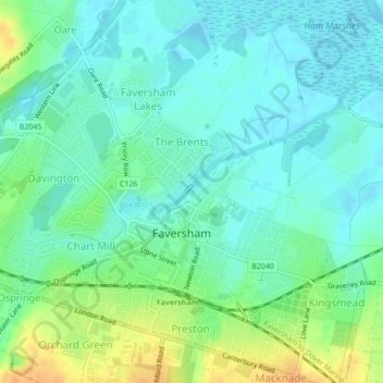
Name: Faversham Creek topographic map, elevation, terrain.
Average elevation: 11 m
Minimum elevation: -2 m
Maximum elevation: 35 m
Kent trails, hiking, mountain biking, running and outdoor activities