
Padang Lumat topographic map
Interactive map
Click on the map to display elevation.
About this map
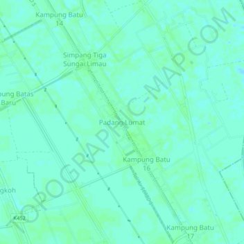
Name: Padang Lumat topographic map, elevation, terrain.
Location: Padang Lumat, Yan, Kedah, 08400, Malaysia (5.88525 100.41293 5.92525 100.45293)
Average elevation: 3 m
Minimum elevation: 0 m
Maximum elevation: 6 m