
Douvangar topographic map
Interactive map
Click on the map to display elevation.
About this map
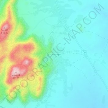
Name: Douvangar topographic map, elevation, terrain.
Location: Douvangar, Meri, Diamaré, Région de l'Extrême-Nord, Cameroun (10.71111 14.10765 10.75111 14.14765)
Average elevation: 584 m
Minimum elevation: 505 m
Maximum elevation: 841 m