Geolocate

Al Adam topographic map

Click on the map to display elevation.

About this map

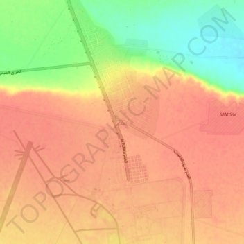
Name: Al Adam topographic map, elevation, terrain.

Location: Al Adam, Butnan, Libya (31.85782 23.90241 31.89782 23.94241)

Average elevation: 148 m

Minimum elevation: 106 m

Maximum elevation: 167 m

Gear up for your next adventure:

🪢Paracord - Multi-purpose cord for camping and survival
🛌Sleeping Mats - Insulated mats for comfortable outdoor sleeping
🛑Emergency Bivvy Bags - Heat-reflective survival bags for unexpected nights out
🧺Mesh Stuff Sacks - Breathable storage for wet gear or camp organization
🚶Walking Pedometers - Simple distance tracking for casual trail walkers

As an Amazon Associate, this site earns from qualifying purchases at no extra cost to you.