
Öresjö topographic map
Interactive map
Click on the map to display elevation.
About this map
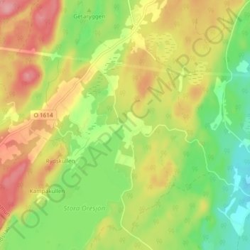
Name: Öresjö topographic map, elevation, terrain.
Location: Öresjö, Marks kommun, Västra Götaland County, Sweden (57.55694 12.35671 57.59694 12.39671)
Average elevation: 118 m
Minimum elevation: 64 m
Maximum elevation: 176 m