Geolocate

Onna topographic map

Click on the map to display elevation.

About this map
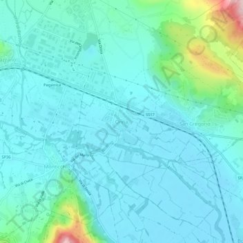
Name: Onna topographic map, elevation, terrain.

Location: Onna, L'Aquila, 67040, Italy (42.30785 13.45975 42.34785 13.49975)

Average elevation: 614 m

Minimum elevation: 569 m

Maximum elevation: 856 m

Gear up for your next adventure:

🧷Tenacious Repair Tape - Instant fix for torn tents, jackets, or dry bags
🧴Tick Removal Tools - Small, essential health tool for UK woodland and moorland
🦶Anti-Blister Balms - Protect your feet before long topographic expeditions
🎿Telescopic Trekking Poles - Reduces knee strain on steep topographic descents
🚶Walking Pedometers - Simple distance tracking for casual trail walkers

As an Amazon Associate, this site earns from qualifying purchases at no extra cost to you.