
Yunguilla topographic map
Interactive map
Click on the map to display elevation.
About this map
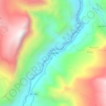
Name: Yunguilla topographic map, elevation, terrain.
Location: Yunguilla, Pontó, Huari, Ancash, Peru (-9.29516 -77.01999 -9.25516 -76.97999)
Average elevation: 2,816 m
Minimum elevation: 2,292 m
Maximum elevation: 3,537 m