
Parque Lineal Ronda del Sinú topographic map
Interactive map
Click on the map to display elevation.
About this map
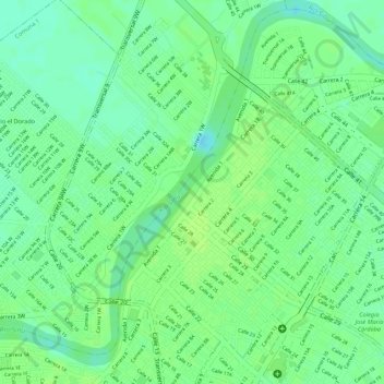
Name: Parque Lineal Ronda del Sinú topographic map, elevation, terrain.
Location: Parque Lineal Ronda del Sinú, Centro, Córdoba, Colombia (8.75139 -75.89158 8.76670 -75.88249)
Average elevation: 16 m
Minimum elevation: 8 m
Maximum elevation: 20 m
Other topographic maps
Click on a map to view its topography, its elevation and its terrain.