
Wighill topographic map
Interactive map
Click on the map to display elevation.
About this map
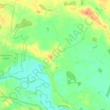
Name: Wighill topographic map, elevation, terrain.
Location: Wighill, Harrogate, North Yorkshire, England, United Kingdom (53.89141 -1.31388 53.93696 -1.26079)
Average elevation: 19 m
Minimum elevation: 4 m
Maximum elevation: 41 m