Geolocate

Calero topographic map

Click on the map to display elevation.

About this map

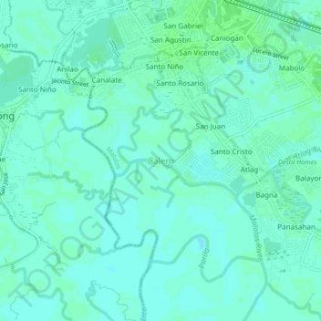
Name: Calero topographic map, elevation, terrain.

Location: Calero, Malolos, Bulacan, Central Luzon, 3001, Philippines (14.81043 120.78822 14.85043 120.82822)

Average elevation: 3 m

Minimum elevation: -1 m

Maximum elevation: 6 m

Gear up for your next adventure:

Lightweight Tents - Compact tents for backpacking and trekking
👖Convertible Hiking Trousers - Versatile zip-off pants for changing mountain weather conditions
🕶️Glacier Goggles - Maximum protection for high-altitude snow topography
🐕Dog Hiking Gear - Equipment for hiking safely with dogs
👕Merino Base Layers - Natural temperature regulation for cold weather hiking and camping

As an Amazon Associate, this site earns from qualifying purchases at no extra cost to you.