
Itá Corá topographic map
Interactive map
Click on the map to display elevation.
About this map
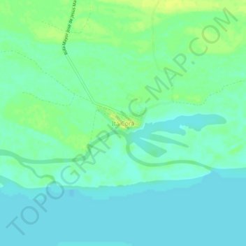
Name: Itá Corá topographic map, elevation, terrain.
Location: Itá Corá, Ñeembucú, Región Oriental, Paraguay (-27.25425 -58.23309 -27.21425 -58.19309)
Average elevation: 52 m
Minimum elevation: 46 m
Maximum elevation: 62 m