
Battlesden topographic map
Interactive map
Click on the map to display elevation.
About this map
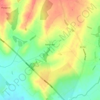
Name: Battlesden topographic map, elevation, terrain.
Location: Battlesden, Central Bedfordshire, England, United Kingdom (51.93313 -0.61563 51.95964 -0.57061)
Average elevation: 124 m
Minimum elevation: 93 m
Maximum elevation: 154 m