
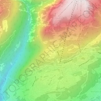
Plans-Mayens topographic map
Interactive map
Click on the map to display elevation.
About this map
Name: Plans-Mayens topographic map, elevation, terrain.
Location: Plans-Mayens, Leis, Siders, Wallis, 3960, Schweiz (46.29356 7.44194 46.33356 7.48194)
Average elevation: 1,501 m
Minimum elevation: 870 m
Maximum elevation: 2,224 m