
Tornín topographic map
Interactive map
Click on the map to display elevation.
About this map
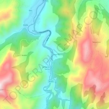
Name: Tornín topographic map, elevation, terrain.
Location: Tornín, Cangas de Onís, Asturies, Espagne (43.29637 -5.14882 43.33637 -5.10882)
Average elevation: 364 m
Minimum elevation: 63 m
Maximum elevation: 801 m