
Make a donation
Gear up for your next adventure:
As an Amazon Associate, this site earns from qualifying purchases at no extra cost to you.
Peters topographic map
Click on the map to display elevation.
Make a donation
Gear up for your next adventure:
As an Amazon Associate, this site earns from qualifying purchases at no extra cost to you.
Peters
Peters is a census-designated place in San Joaquin County, California. Peters sits at an elevation of 112 feet (34 m). The 2010 United States census reported Peters' population was 672.
Make a donation
Gear up for your next adventure:
As an Amazon Associate, this site earns from qualifying purchases at no extra cost to you.
About this map
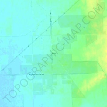
Name: Peters topographic map, elevation, terrain.
Location: Peters, San Joaquin County, California, United States (37.96076 -121.06800 38.00076 -121.02800)
Average elevation: 32 m
Minimum elevation: 26 m
Maximum elevation: 44 m
Make a donation
Gear up for your next adventure:
As an Amazon Associate, this site earns from qualifying purchases at no extra cost to you.