
Inola topographic map
Interactive map
Click on the map to display elevation.
About this map
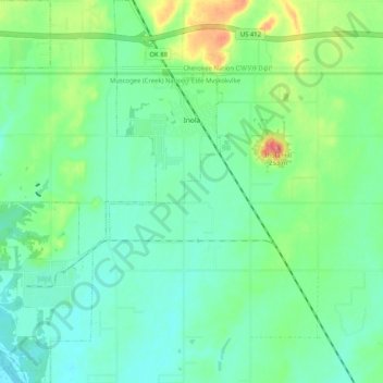
Name: Inola topographic map, elevation, terrain.
Location: Inola, Rogers County, Oklahoma, 74036, United States (36.09447 -95.56985 36.17705 -95.49927)
Average elevation: 186 m
Minimum elevation: 163 m
Maximum elevation: 248 m