
Sungai Berok topographic map
Interactive map
Click on the map to display elevation.
About this map
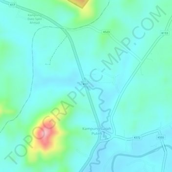
Name: Sungai Berok topographic map, elevation, terrain.
Location: Sungai Berok, Kampung Gajah Puteh, Sik, Kedah, Malaysia (5.91273 100.63756 5.91375 100.64001)
Average elevation: 61 m
Minimum elevation: 28 m
Maximum elevation: 191 m