
Henschhausen topographic map
Interactive map
Click on the map to display elevation.
About this map
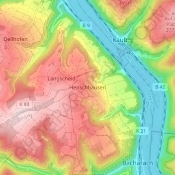
Name: Henschhausen topographic map, elevation, terrain.
Average elevation: 244 m
Minimum elevation: 71 m
Maximum elevation: 407 m
Henschhausen liegt in knapp 300 Meter Höhe auf der linken Hochfläche des Oberen Mittelrheintales am östlichen Ende des Hunsrück.