
Ouled Hamla topographic map
Interactive map
Click on the map to display elevation.
About this map
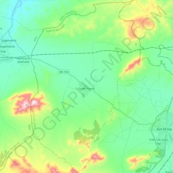
Name: Ouled Hamla topographic map, elevation, terrain.
Location: Ouled Hamla, Aïn M'Lila District, Oum El Bouaghi, Algeria (35.99198 6.40043 36.17061 6.54524)
Average elevation: 848 m
Minimum elevation: 697 m
Maximum elevation: 1,283 m