
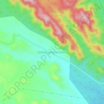
Gollalingammanahalli topographic map
Interactive map
Click on the map to display elevation.
About this map
Name: Gollalingammanahalli topographic map, elevation, terrain.
Average elevation: 712 m
Minimum elevation: 606 m
Maximum elevation: 904 m
Other topographic maps
Click on a map to view its topography, its elevation and its terrain.
Gollarahatti
India > Karnataka > Sanduru taluk
Gollarahatti, Sanduru taluk, Ballari District, Karnataka, 583124, India
Average elevation: 663 m
Toranagallu
India > Karnataka > Sanduru taluk
Toranagallu, Sanduru taluk, Bellary district, Karnataka, 583123, India
Average elevation: 480 m