
Masvingo topographic map
Interactive map
Click on the map to display elevation.
About this map
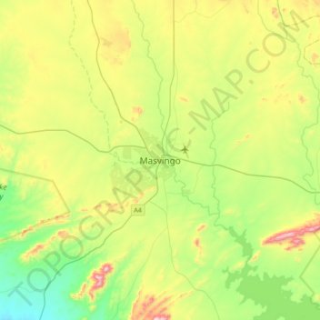
Name: Masvingo topographic map, elevation, terrain.
Location: Masvingo, Masvingo Province, Zimbabwe (-20.23201 30.67419 -19.91201 30.99419)
Average elevation: 1,097 m
Minimum elevation: 870 m
Maximum elevation: 1,512 m