
Indravati National Park topographic map
Interactive map
Click on the map to display elevation.
Indravati National Park
The topography of the park mainly comprises undulating hilly terrain with altitude ranging between 177 and 599 metres above the sea level.
About this map
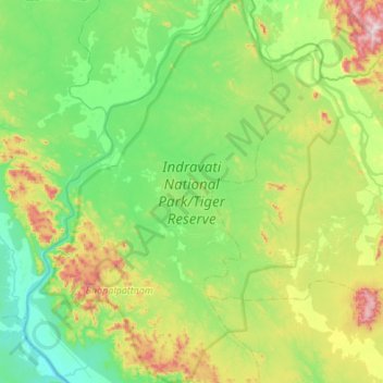
Name: Indravati National Park topographic map, elevation, terrain.
Average elevation: 253 m
Minimum elevation: 90 m
Maximum elevation: 732 m