
Larjung topographic map
Interactive map
Click on the map to display elevation.
About this map
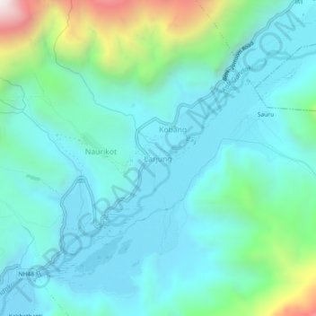
Name: Larjung topographic map, elevation, terrain.
Location: Larjung, Thasang, Mustang, Gandaki Province, Nepal (28.66662 83.59480 28.70662 83.63480)
Average elevation: 2,764 m
Minimum elevation: 2,519 m
Maximum elevation: 3,777 m
Other topographic maps
Click on a map to view its topography, its elevation and its terrain.