
Mondorf-les-Bains topographic map
Interactive map
Click on the map to display elevation.
About this map
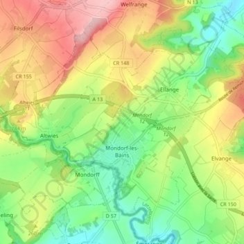
Name: Mondorf-les-Bains topographic map, elevation, terrain.
Location: Mondorf-les-Bains, Canton Remich, Luxembourg (49.49299 6.24058 49.53438 6.32426)
Average elevation: 243 m
Minimum elevation: 165 m
Maximum elevation: 346 m