
Steinreich topographic map
Interactive map
Click on the map to display elevation.
About this map
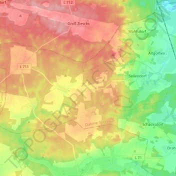
Name: Steinreich topographic map, elevation, terrain.
Average elevation: 107 m
Minimum elevation: 48 m
Maximum elevation: 165 m
Other topographic maps
Click on a map to view its topography, its elevation and its terrain.
Siedlung Waldesruh
Germany > Brandenburg > Dahme-Spreewald > Königs Wusterhausen
Average elevation: 41 m