
Vincennes topographic map
Interactive map
Click on the map to display elevation.
About this map
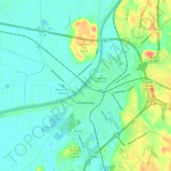
Name: Vincennes topographic map, elevation, terrain.
Location: Vincennes, Knox County, Indiana, 47591, United States (38.64459 -87.54919 38.72650 -87.46870)
Average elevation: 134 m
Minimum elevation: 121 m
Maximum elevation: 168 m
Other topographic maps
Click on a map to view its topography, its elevation and its terrain.