
Pulau Pontianak topographic map
Interactive map
Click on the map to display elevation.
About this map
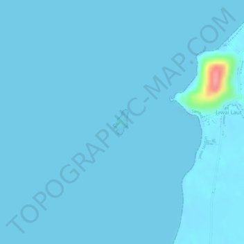
Name: Pulau Pontianak topographic map, elevation, terrain.
Location: Pulau Pontianak, Jawai Laut, Kalbar, Indonesia (1.26746 108.98032 1.27021 108.98199)
Average elevation: 3 m
Minimum elevation: -1 m
Maximum elevation: 94 m