
Punta Paulinu topographic map
Interactive map
Click on the map to display elevation.
About this map
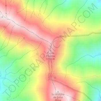
Name: Punta Paulinu topographic map, elevation, terrain.
Location: Punta Paulinu, Desulo, Nuoro, Sardegna, 08032, Italia (40.00690 9.31874 40.00700 9.31884)
Average elevation: 1,528 m
Minimum elevation: 1,204 m
Maximum elevation: 1,825 m