
Al Qurda topographic map
Interactive map
Click on the map to display elevation.
About this map
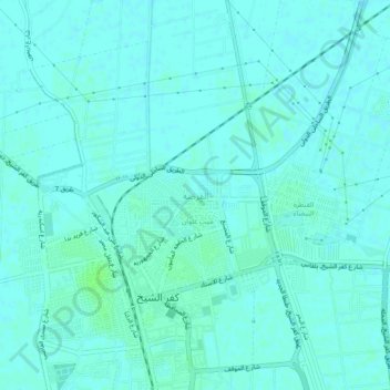
Name: Al Qurda topographic map, elevation, terrain.
Location: Al Qurda, Kafr El Sheikh, 33511, Egypt (31.09922 30.92721 31.13922 30.96721)
Average elevation: 5 m
Minimum elevation: 2 m
Maximum elevation: 10 m
Other topographic maps
Click on a map to view its topography, its elevation and its terrain.