
Thank you for supporting this site ❤️
Make a donation
Make a donation
Gear up for your next adventure:
As an Amazon Associate, this site earns from qualifying purchases at no extra cost to you.
Chari topographic map
Click on the map to display elevation.
Thank you for supporting this site ❤️
Make a donation
Make a donation
Gear up for your next adventure:
As an Amazon Associate, this site earns from qualifying purchases at no extra cost to you.
About this map
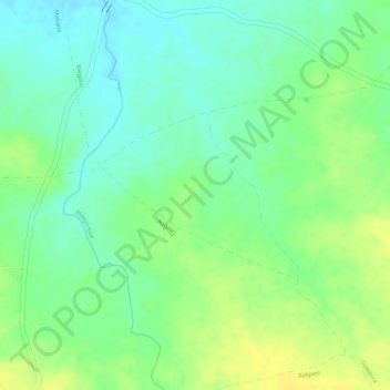
Name: Chari topographic map, elevation, terrain.
Location: Chari, Gogaon Tahsil, Khargone District, Madhya Pradesh, India (21.79105 75.68642 21.80259 75.70122)
Average elevation: 268 m
Minimum elevation: 255 m
Maximum elevation: 280 m
Thank you for supporting this site ❤️
Make a donation
Make a donation
Gear up for your next adventure:
As an Amazon Associate, this site earns from qualifying purchases at no extra cost to you.