Geolocate

Chari topographic map

Click on the map to display elevation.

About this map

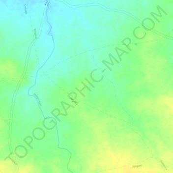
Name: Chari topographic map, elevation, terrain.

Location: Chari, Gogaon Tahsil, Khargone District, Madhya Pradesh, India (21.79105 75.68642 21.80259 75.70122)

Average elevation: 268 m

Minimum elevation: 255 m

Maximum elevation: 280 m

Gear up for your next adventure:

📚UK Hiking Guidebooks - Detailed route descriptions for the Lake District, Peaks, and Highlands
🔋Rechargeable Batteries - Eco-friendly power for headlamps and older GPS units
🍲Portable Camping Stoves - Fast-boiling stoves for hot meals on remote topographic survey trips
🗺️Ordnance Survey Maps - Essential paper maps for hiking across the UK national parks
❄️Walking Crampons - Added traction for icy slopes and winter peak bagging

As an Amazon Associate, this site earns from qualifying purchases at no extra cost to you.