
Lebanon Junction topographic map
Interactive map
Click on the map to display elevation.
About this map
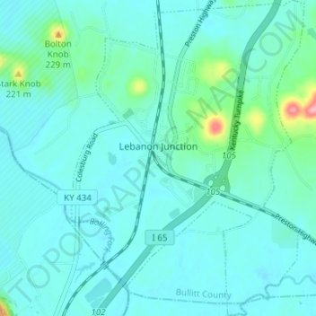
Name: Lebanon Junction topographic map, elevation, terrain.
Location: Lebanon Junction, Bullitt County, Kentucky, United States (37.80805 -85.74902 37.85704 -85.70319)
Average elevation: 144 m
Minimum elevation: 127 m
Maximum elevation: 251 m