
Battery topographic map
Interactive map
Click on the map to display elevation.
About this map
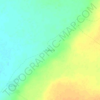
Name: Battery topographic map, elevation, terrain.
Location: Battery, Luuq District, Gedo, Jubaland, Somalia (3.94115 43.02683 3.98115 43.06683)
Average elevation: 350 m
Minimum elevation: 337 m
Maximum elevation: 365 m