
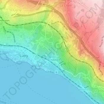
Ruisseau de Bossières topographic map
Interactive map
Click on the map to display elevation.
About this map
Name: Ruisseau de Bossières topographic map, elevation, terrain.
Average elevation: 492 m
Minimum elevation: 369 m
Maximum elevation: 719 m
Other topographic maps
Click on a map to view its topography, its elevation and its terrain.
La Lutrive
La Lutrive, Lutry, District de Lavaux-Oron, Vaud, 1095, Suisse
Average elevation: 500 m